My shopping cart
Your cart is currently empty.
Continue ShoppingWe can assist with thermal imagery to assist in the tracking of offenders, or the identification of suspicious heat signatures which may indicate an identified location is being used as a “grow house” for illegal drugs. Our fixed wing options have extended range capabilities which allow the UAVs to be utilised for long range missions including border control and surveillance, the identification and tracking of vehicles of interest or the location of missing persons utilising thermal imagery.
Where secure transmissions are a must, our standard radio links from Doodle Labs RM 915 offer AES 256 and 128 bit encryption; FIPS-2, Level 2 compliant as standard. This should give the majority of our customers the confidence that your links are safe from hacking and any unwarranted attention. However, we know that for highly sensitive operations, that extra layer of encryption isn't only desirable but it is necessary to maintain the highest possible security from start to finish. For this increased security need, we are pleased to offer our customers the Silvus StreamCaster 4200, this ruggedised military spec. radio link offers DES Standard, AES/GCM 128 or 256 bit encryption; FIPS 140-2, Suite B.

Our thermal sensors can assist with search and rescue operations. When it comes to a missing loved one, no option should be ignored.
Our beautiful country is filled with the best trekking and outdoor spaces with many people taking advantage of these great pursuits, but… local conditions can surprise some with potentially catastrophic results. If a loved one is lost, we have the capability to provide specialist equipment to aid in the search response.

Our UAVs are the latest in their class. The sensors we employ can provide a depth of clarity that is unrivalled..
When used in conjunction with the RTK Mobile Station (which is a high precision GNSS receiver that supports all major global satellite navigation systems) our system provides real time differential corrections that generate centimetre-level positioning data for improved relative accuracy.
Our systems have up to a 2 hour flight time which can allow us to capture up to 1000Ha saving time and money.
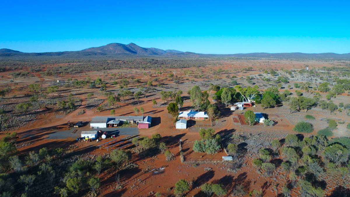
With the size and breadth of the Northern Territory – emerging technology is allowing inspections of remote areas without the time, expense or resource allocation previously required.
Our thermal imagery can assist in the identification, location, and head counts of pests such as camels, horses and dogs and others. We can also assist in the location and possible counting of endangered species when the thermal capability is fully leveraged in conjunction with our AI programs.
Utilising our state-of-the-art sensors, we can provide detailed inspection data of assets and mine site analysis
Inspect road, rail, water infrastructure and pipelines from our UAV's. Gas leak identification sensors available.
Mine site analysis is essential for the optimisation of mine layout as well as the identification and mitigation of hazards or issues as they emerge. We can provide data for stockpile management to assist production and forecast planning.
Detailed 3D maps of site areas can be generated to provide additional graphical information to stakeholders , authorities or government departments.
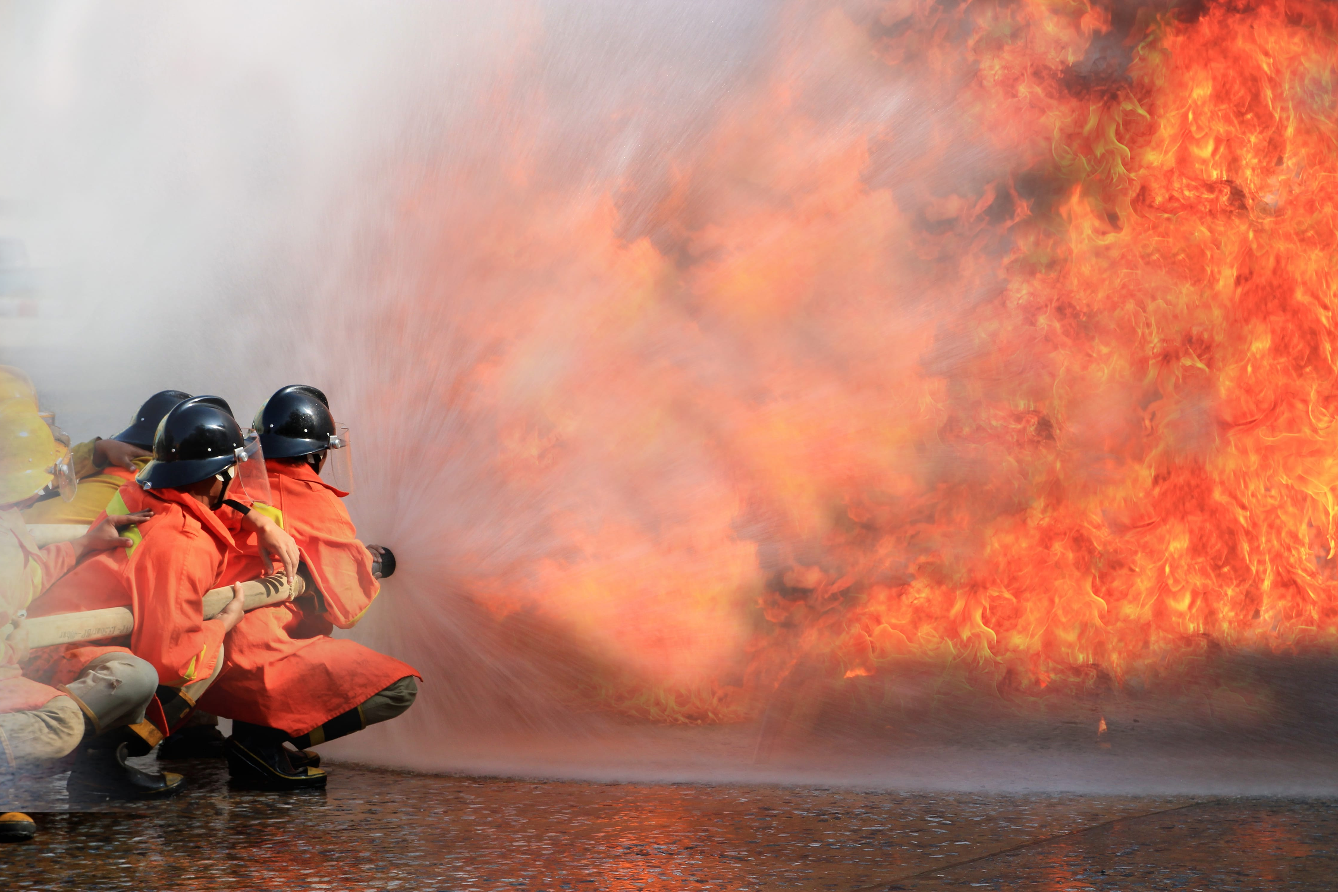
Supporting our emergency responders – from the air.
We can offer specialist UAV services to emergency responders and emergency organisations. From fire monitoring to assisting with hazmat incidents – getting eyes on for you is our priority.

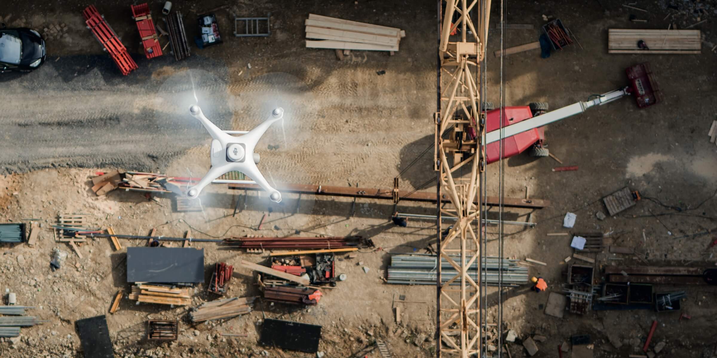
Progress monitoring is a key component of project delivery.
Our team have the experience and the technology to assist with your next building or construction project.
We can provide detailed 2D maps or 3D models of the site enabling managers to stay fully informed on progress and allocation of resources – ensuring projects remain on track and on time.
We can provide detailed high resolution close-up images of buildings to assist with routine inspections and maintenance. Digitise the inspection process to assist with personnel safety while reducing costs.